Analysis of Crater Greg using LandSerf
Tags: geomorphonsMarsMartian glaciologyRSGISLibLandserfDTM28 Aug 2014 - MawKernewek
I had some trouble with geomorphons, because I couldn't get the GRASS 7 extension to compile in Linux for unclear reasons, so I was limited to using the Windows version inside a virtual machine, and it decided to crash when presented with Mars data, although it was OK with Earth DTMs...
I have however been using LandSerf to generate curvature layers, and a feature classification, so here we are, for the well known (at least to Martian glaciologists) crater "Greg":
I hope you're not too confused by the use of transparency...
Units are in metres.
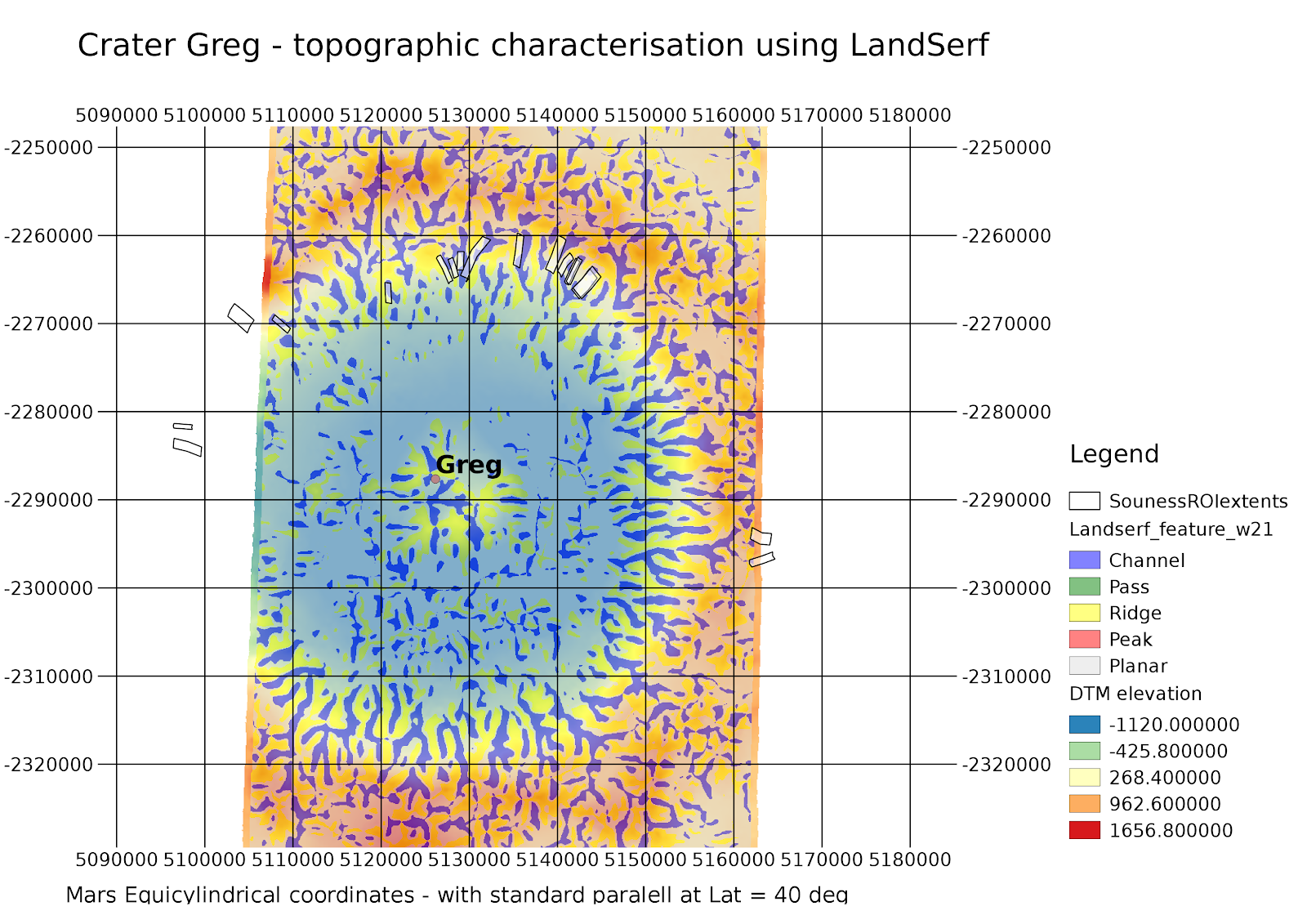
Some of the glaciers form a channel as they are constrained by topography, but not all channels are glaciers.....
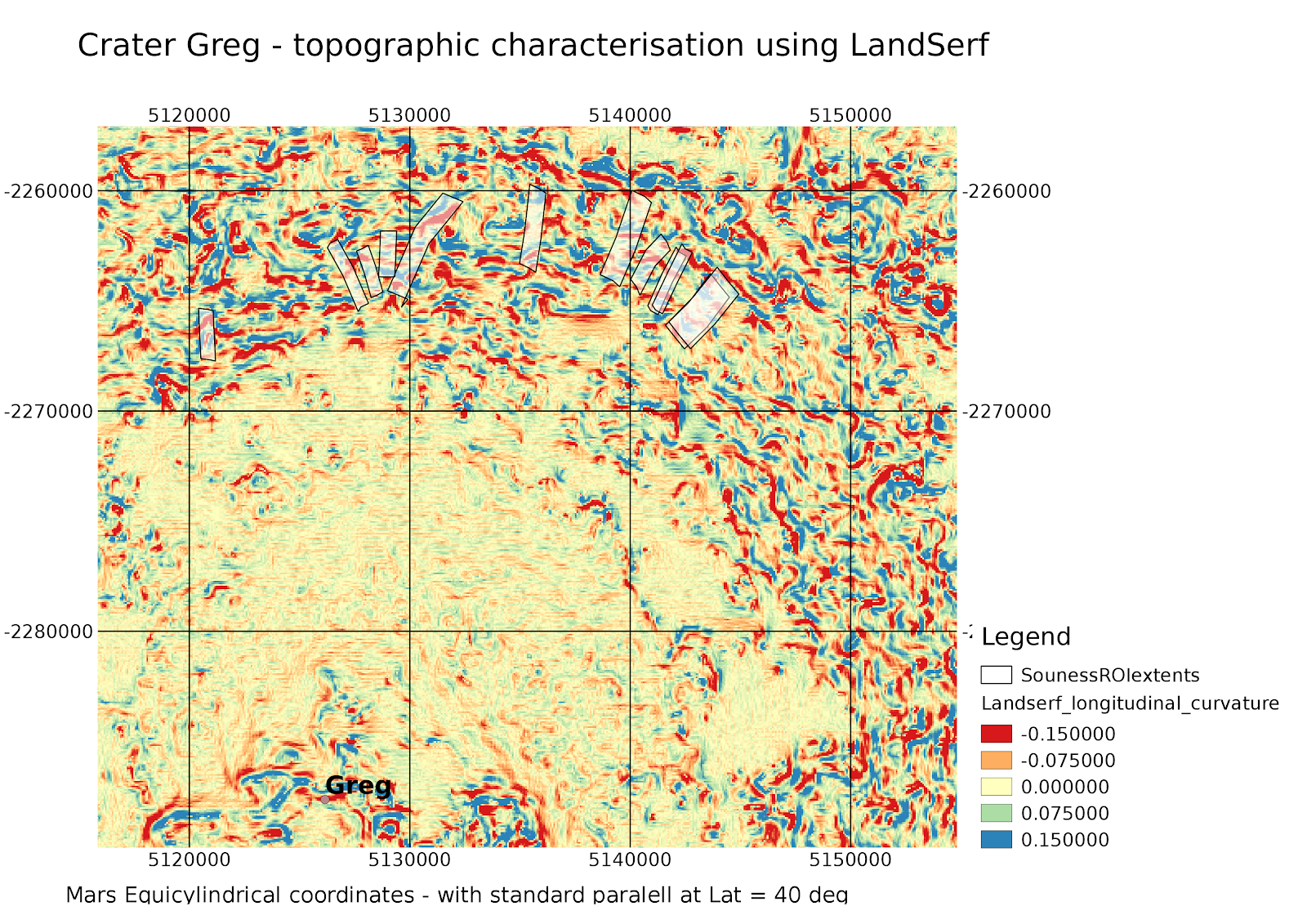
Using longitudinal curvature calculated in LandSerf, showing negative curvature where a slope starts off steep and shallows as it goes down, which the Martian glaciers in Greg and elsewhere generally do, (Bryn Hubbard et al.):
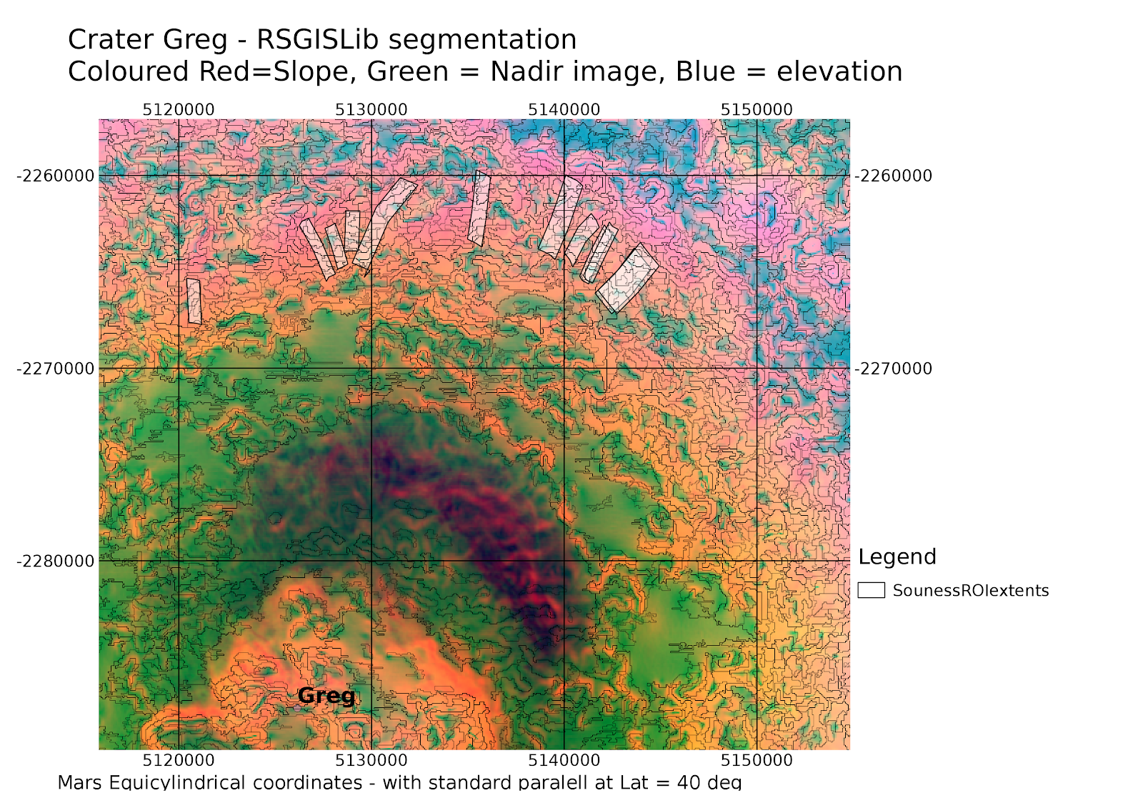
Using RSGISLib to segment a layerstack consisting of nadir image, elevation, slope, aspect, and curvature layers:
I have however been using LandSerf to generate curvature layers, and a feature classification, so here we are, for the well known (at least to Martian glaciologists) crater "Greg":
I hope you're not too confused by the use of transparency...
Units are in metres.
Some of the glaciers form a channel as they are constrained by topography, but not all channels are glaciers.....
Using longitudinal curvature calculated in LandSerf, showing negative curvature where a slope starts off steep and shallows as it goes down, which the Martian glaciers in Greg and elsewhere generally do, (Bryn Hubbard et al.):
Using RSGISLib to segment a layerstack consisting of nadir image, elevation, slope, aspect, and curvature layers:
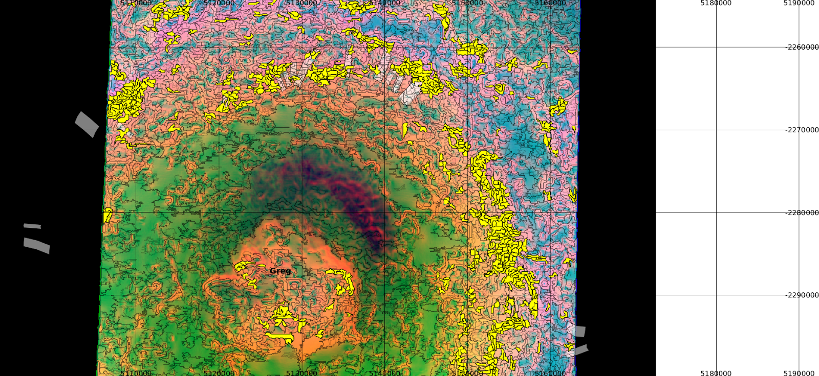 | |
| Selecting all slopes above 15 degrees |