A greyscale version of my maps in Cornish
Tags: slope direction linescornwallmaps in cornish08 Oct 2015 - MawKernewek
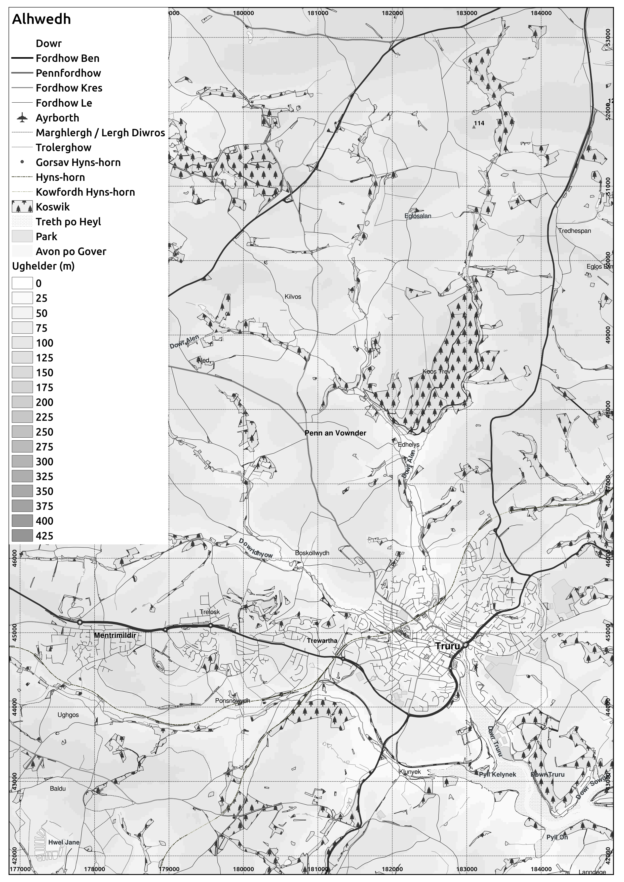
I have made a greyscale version of the maps in Cornish I have been working on.
Here is an extract from the Truro area:
Here is an extract from the Truro area:
 | ||||
| Cornish placenames from MAGA Placename and Signage Panel and the book by Craig Weatherhill. Some names of geographic features are my own translations of English names. Any errors are my own responsibility. large version |
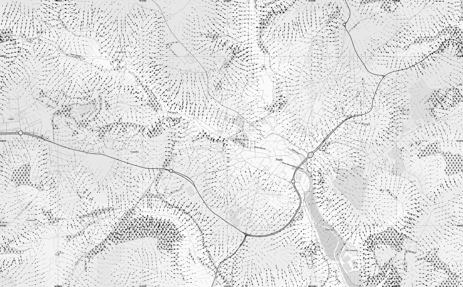 |
| Adding arrows to indicate the (downward) slope direction using the segmentation method described in earlier posts. large version |
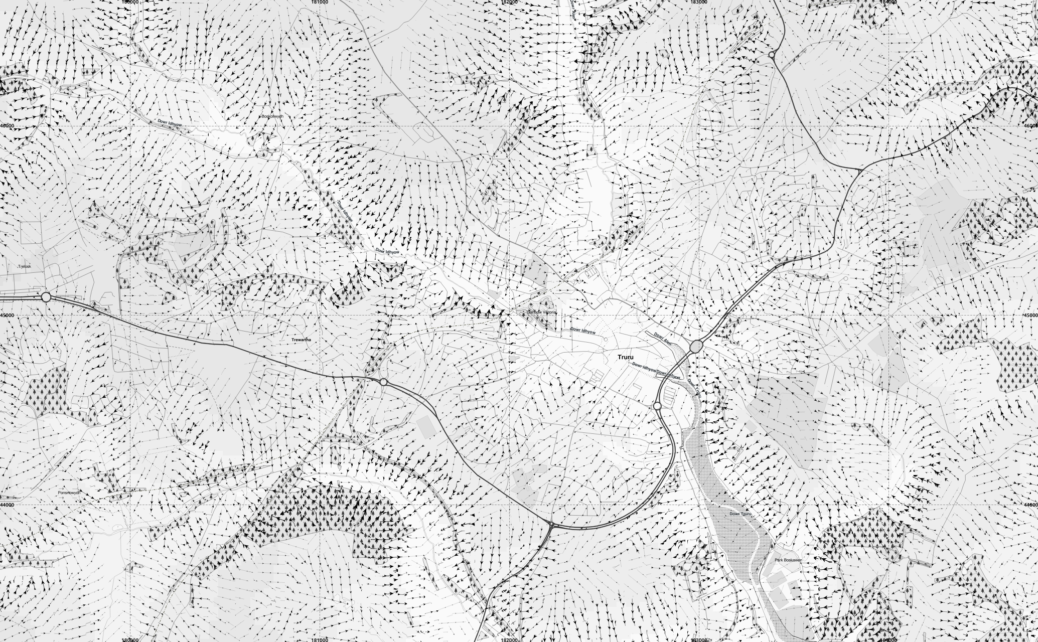
 |
| Keeping the map greyscale but showing longitudinal curvature of the slope with convex slopes in red and concave in blue. large version |
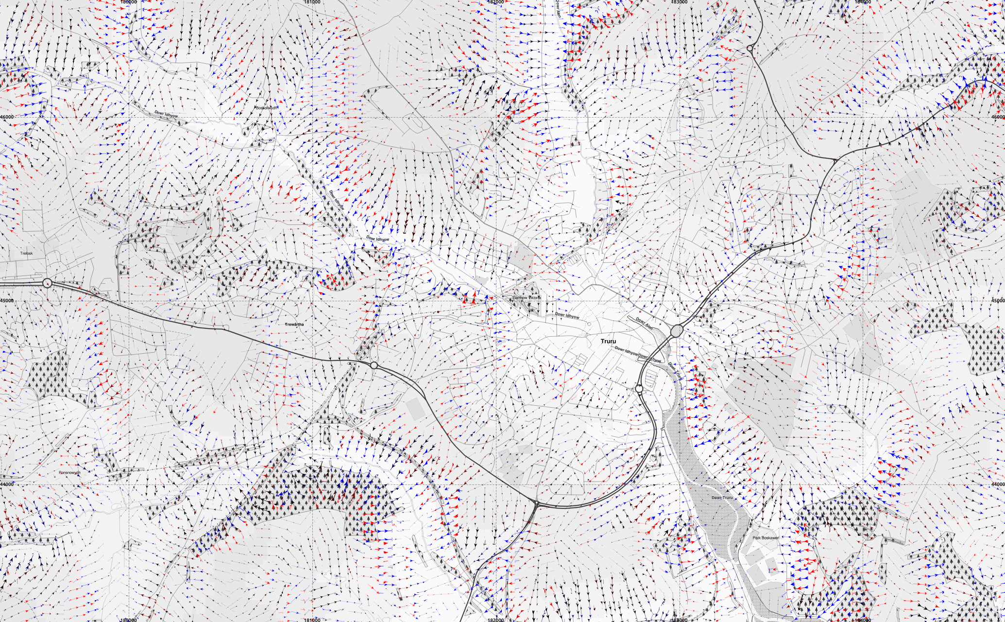
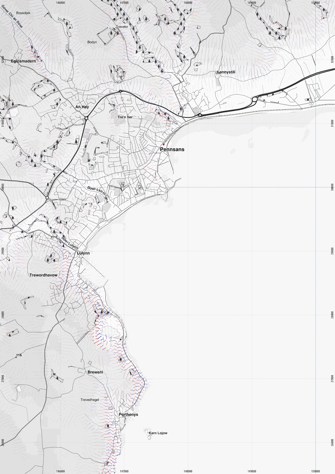 |
| Penzance. Unfortunately using the arrows tends to make QGIS run very slowly and crash for larger maps. larger version |