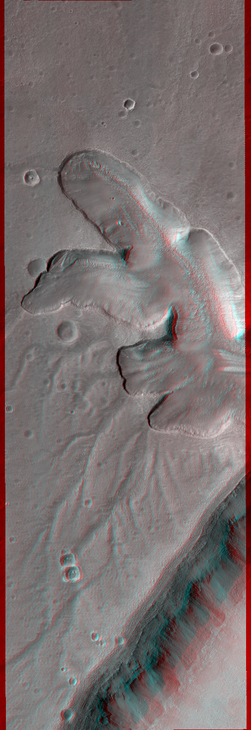
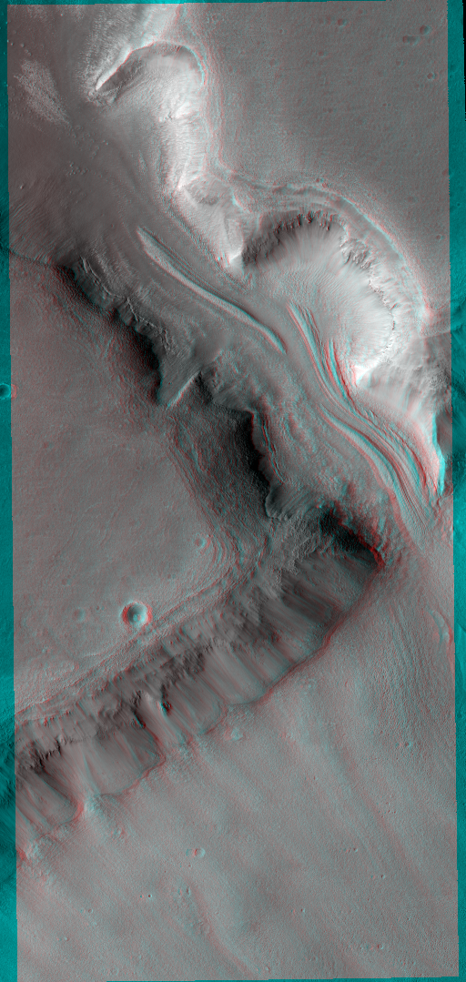
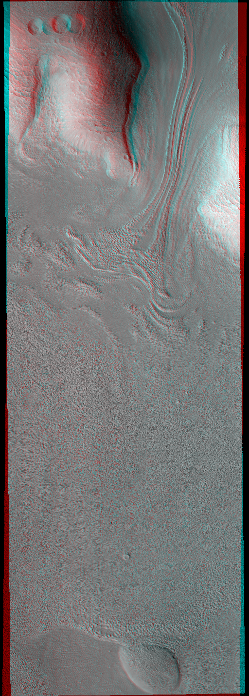
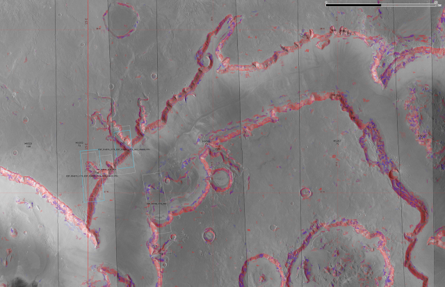
The northern hemisphere elevation dichotomy boundary, between the flat plains in the north and the highlands to the south is where a large number of glacial landforms have been seen.
Here is the area around Deuteronilus Mensae:
 |
| Summary of general area, with elevation blended with MOC mosaic, and HRSC tiles overlaid with colour-coded elevation blended with nadir image. |
 |
| Colour-coded MOLA elevation alone |
 |
| MOLA elevation, blended with hillshade |
h5314
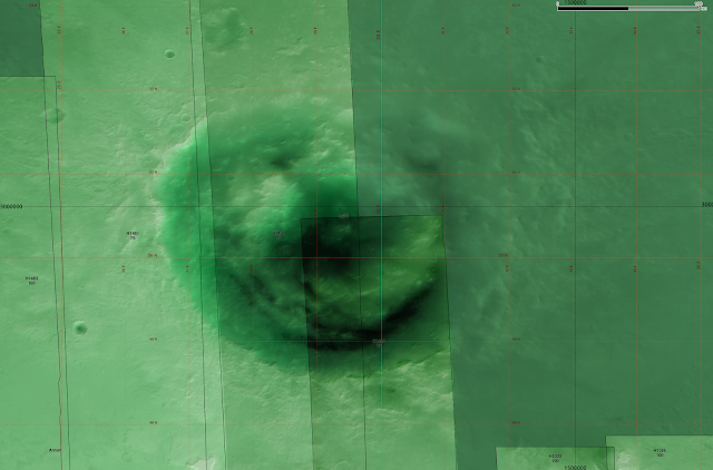
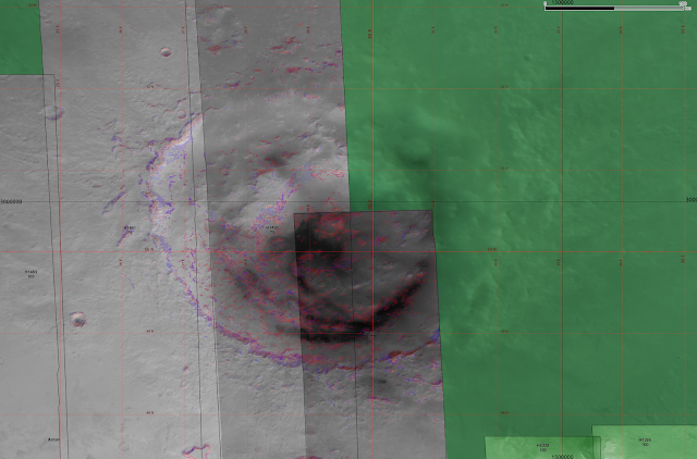
A crater at 6°W, 38°N, with two Souness GLFs in the crater wall within the HRSC tile h5314.
 |
| Elevation blended with HRSC nadir image. Souness 1 is the lowest elevation GLF in this part of the northern hemisphere (there is a cluster around 120°E, 40°N that are lower) at a head elevation of -4222m. |
 |
| The classifier, showing topographic similarity to head and extents of Souness GLFs. |
There are several HiRISE images available of this crater, including
ESP_019070_2185,
ESP_028050_2185, and a 3D anaglyph
ESP_034287_2185.h5285
Showing an area around 16°E, 37°N within tiles h5321, h5303, h5285, h5267 and h5249. A number of Souness GLFs are evident.
 |
| There are two HiRISE 3D anaglyphs overlapping Souness GLFs in this area. |
h1483
An area around 24°E, 37°N, with a number of Souness GLFs with anaglyphs in the vicinity of, but not overlapping them. At the lower right, there is a high resolution HiRISE DTM available for the area south of Souness 659.
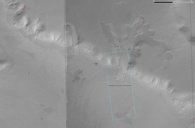
h1450
An area at 29°E, 41°N in HRSC tiles h1450 and h1426, containing a number of Souness GLFs.
Lyot crater
Lyot crater at 30°E, 50°N is the deepest point in the Northern Hemisphere of Mars with a floor elevation of ~ -7000m. There are no Souness GLFs found in it, although the classifier does pick up substantial areas of topographic similarity to extent and head areas. The has been a study showing evidence for liquid water and fluvial activity in the (relatively) recent past:
Dickson et al. 2009.
Here is a series of Google Earth screenshots of part of Lyot, with the CTX imagery mosaic:
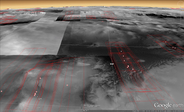 |
| From near the centre of the crater, looking S. A large area of dark dunes is seen in the foreground. |
 |
| Moving south, across some mountains within the crater rising to about ~-4000m. |
 |
| The southern outer wall perhaps showing some remnants of glacial activity? This would be interesting, because given studies arguing for a microclimate allowing for liquid water at relatively late epochs, perhaps there is a critical elevation below which glaciers were not preserved due to higher ablation, with a thicker atmosphere at the lowest elevations allowing more wind erosion and high temperatures? |


