In the final instalment of my posts giving a summary of the northern mid-latitudes of Mars, I will present the Phlegra Montes area, in the easternmost part (if you're working with -180 to 180° longitudes as I am) of the northern hemisphere.
This area has some special interest taken in it lately, with a paper giving evidence for wet-based glaciation in the area written recently
Eskers in a complete, wet-based glacial system in the Phlegra Montes region, Mars (Gallagher and Balme 2015).
link |
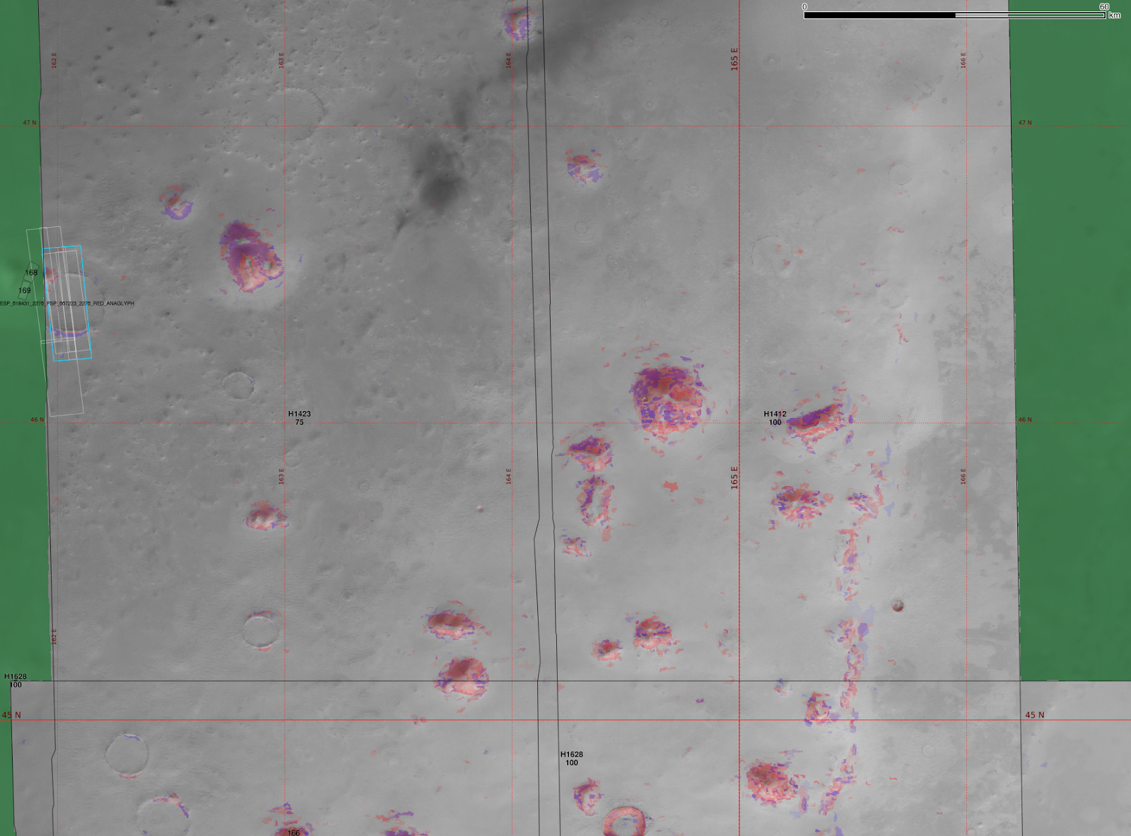
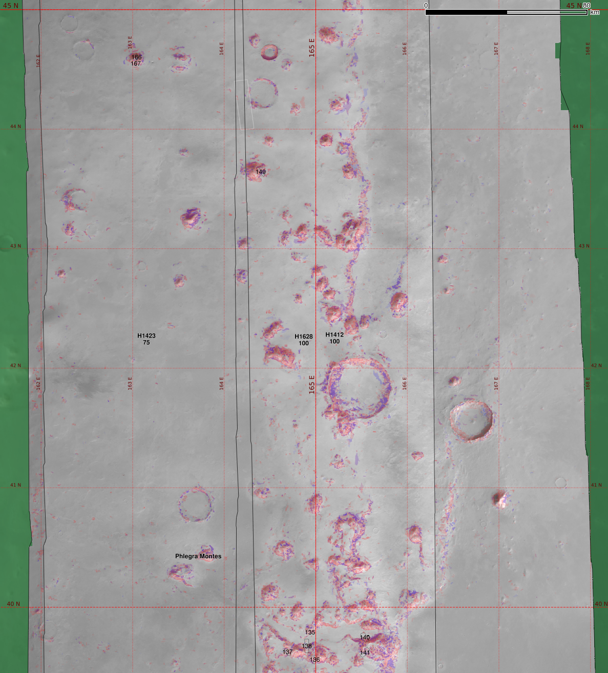
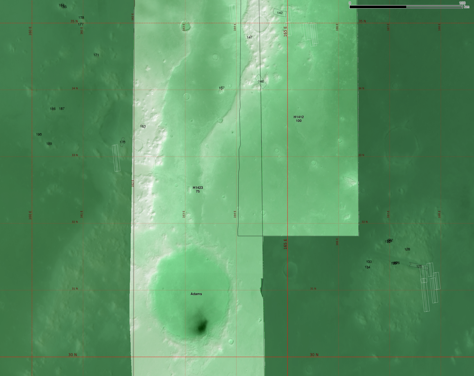
| The HRSC tiles h1423, h1628 and h1412 overlaid on MOC image mosaic and colourised by elevation. |
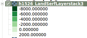
I use the same elevation colour ramp for HRSC tiles as in Utopia Planitia as follows:
 |
| MOLA elevation alone. |
 |
| Hillshaded MOLA elevation. |
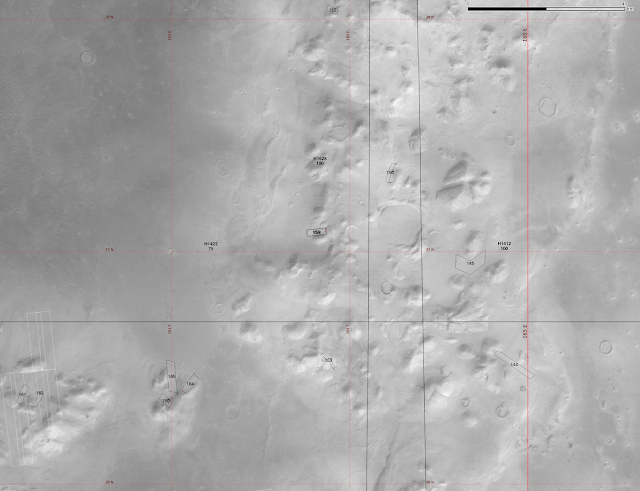
Northernmost region:
 |
| With classifier functions for 'head' and 'extent'. |
 |
| Two Souness GLFs are just missed by the HRSC coverage. |
A little further south:
 |
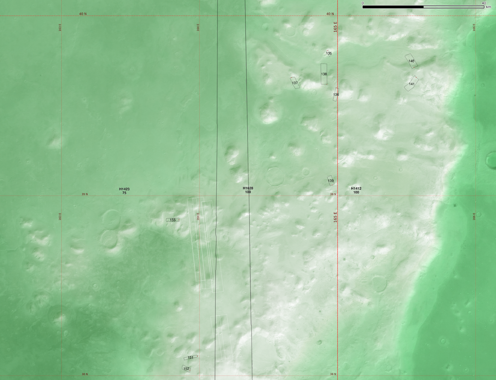
| Relatively few Souness GLFs are found in this area. |
 |
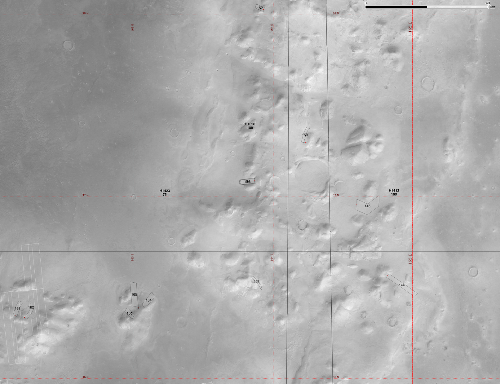
| In this region the GLFs are often found around relatively small isolated mesas, though many some of these do not host a catalogued GLF and look similar to the classifier. |
 |
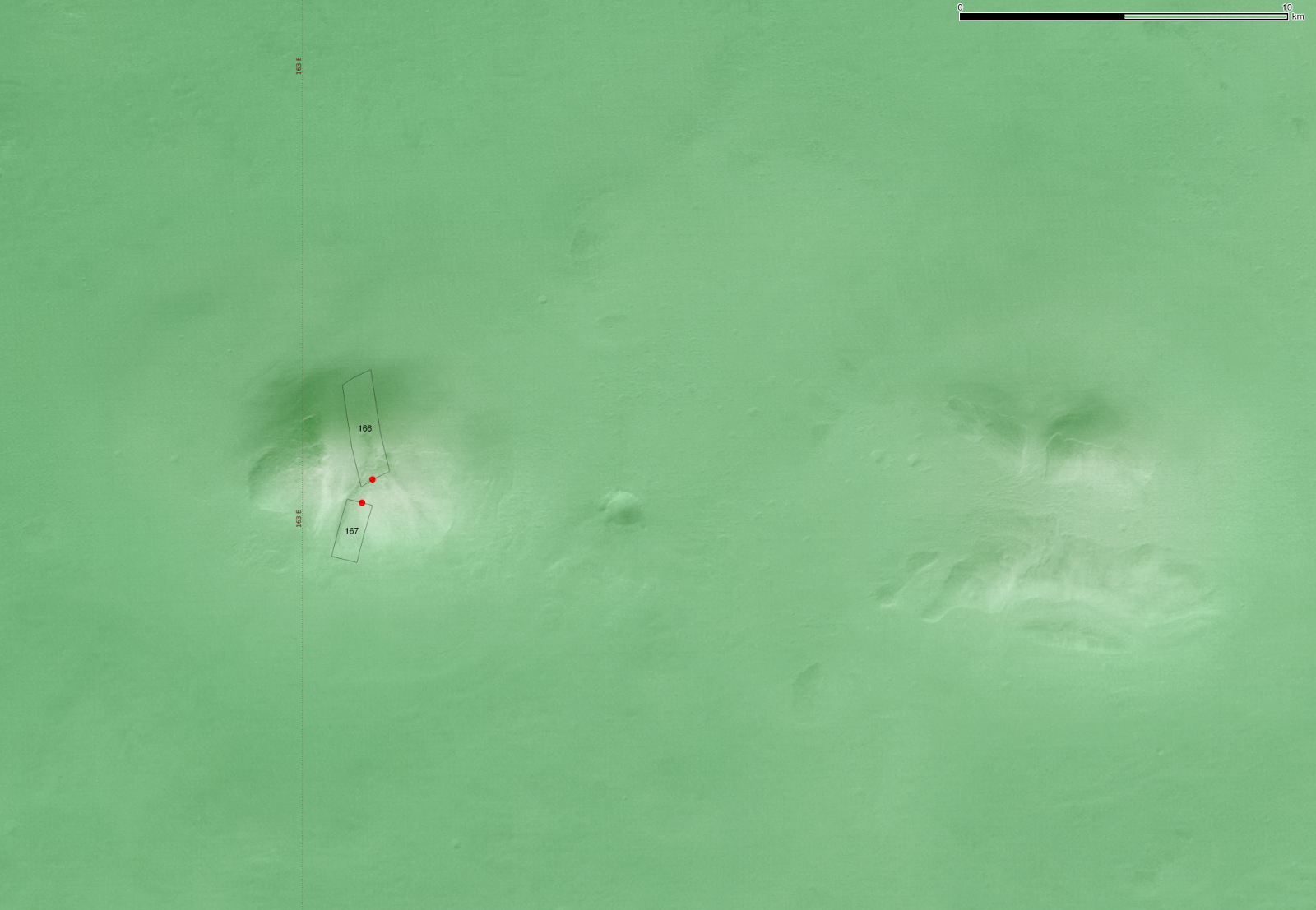
| Close up of region around Souness 167 and 168. |
 |
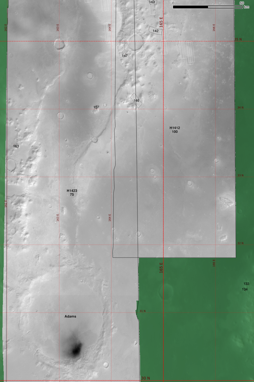
| HRSC nadir image. |
 |
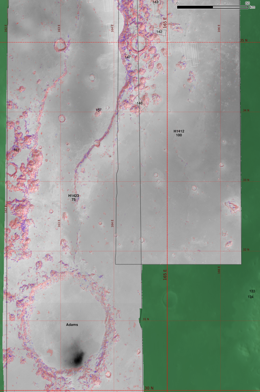
| With classifier function. |
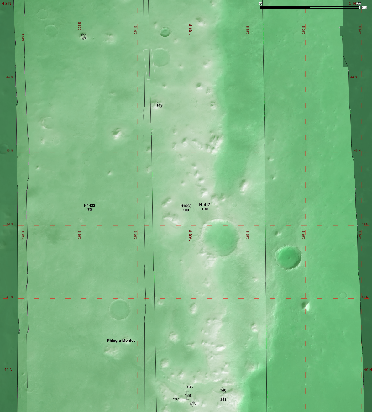
Central region of Phlegra Montes:
 |
| A number of Souness GLFs are found in this area. |
 |
| With classifier function |
 |
| Zooming in a bit more |
 |
| A little to the south of the previous image |
 |
| Further to the south again |
Southern Phlegra Montes area
 |
| This covers the same region as the study areas of the Gallagher and Balme 2015 paper. They postulate wet-based glaciation in this area, arguing this was made possible by geothermal heat flux. |
 |
| Nadir images. |
 |
| With the classifier. |
 |
| The detailed study area from the paper at ~163°E, 32.5°N, with a lineated valley fill at the left and the postulated wet-based glacial forms including sinuous ridges near the centre of this image. |
 |
| HRSC nadir image |
 |
| With the classifier. |