Detailing the Souness GLFs which have a large offset between the quoted centre, or are duplicates, or have been visually identified as potentially having a typographic error, I now continue with the southern hemisphere.
Argyre
see also
previous post.
S732, S809
 |
| Souness 732 in the wall of crater Arkhangelsky at 24°W, 41°S has an off-centre 'centre' position, but does not have HRSC DTM coverage. |
 |
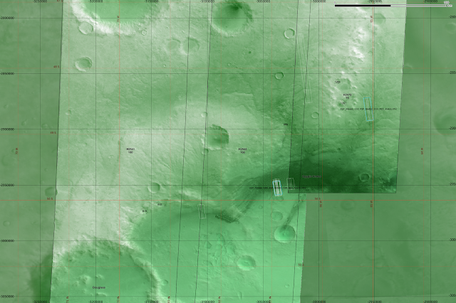
| Souness 809 at 49°S in tile h2508 has a long and sinuous shape where the 'centre' falls outside of the channel. |
 |
| Showing broad context of this area, to the west of Argyre Planitia, a system of valleys is seen, along with dunes. |
It is possible that Souness 809 is an example of a glacier forming in a pre-existing older fluvial valley system.
West Hellas
see also
previous post.
S1124, S1145, S1175, S1183, S1188, S1189, S1197, S1237, S1253/S1309:
 |
| Souness 1124 in an unnamed crater not covered by a HRSC DTM. |
 |
| Souness 1145 also falls outside of HRSC DTM coverage. |
 |
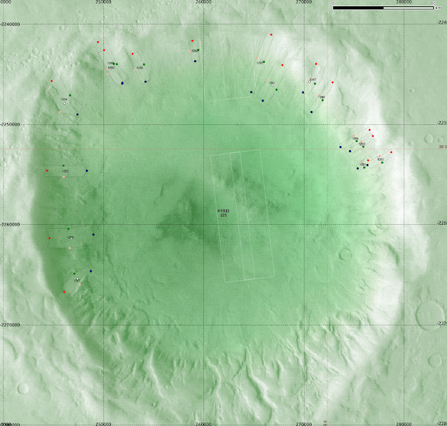
| Souness 1175 is among many GLFs around the walls of a crater. |
 |
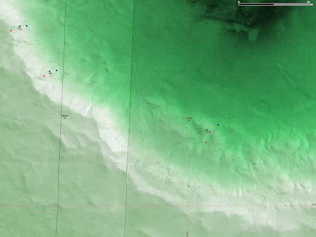
| Souness 1197 is found on the north wall of a crater where the floor is covered by a dune system. |
 |
| Souness 1237 on the southern wall of crater 'Russell' which contains a system of dunes. |
 |
| Crater Russel at ~ 55°S, 13°E. |
 |
| S1253/S1309 are duplicates in this crater containing many GLFs at 38°S, 16°E. |
East Hellas
see also
previous post.
S950/S1271, S951/S1272, S978/S1274 , S999/S1278, S1000/S1277, S1016, S1073/S1294, S1085/S1292, S1098/S1297, S1107/S1298, S1117/S1301, S1275, S1300.
 |
| Souness 950 is a duplicate with Souness 1271 and S951 with S1272 in the north wall of Greg crater. |
 |
| A wider view, also showing the duplicates S978/S1274 |
 |
| Souness 978 and 1274 are duplicates and another two Souness GLFs are found around a mesa to the NW of Greg crater at ~ 111°E, 37°S. |
 |
| Souness 999 and 1000 are duplicates with S1278 and S1277 in an interesting region covered previously. |
 |
| Broader context for S999/1278, S1000/1277 near Reull Vallis which is at the NW of this image. Souness 1275 is seen at the S of this image. |
 |
| S1016 is out of HRSC DTM coverage on a piece of raised terrain with Souness GLFs on both north and south facing sides at 41.5°S, 105°E. |
 |
| Broader context for S1016. |
 |
| S1073 and S1085 are duplicates with S1294 and S1292. |
 |
| Broader context for Souness 1073/1294 and Souness 1085/1292. Souness 1098/1297 is also seen. |
 |
| Souness 1098 is a duplicate with S1297. |
 |
| Souness 1107/1298 is seen in a shadowed area on the margin of Reull Vallis itself. It is covered by an anaglyph PSP_001978_1445. |
 |
| Souness 1117 is a duplicate with S1301 and the malformed S1300 (typo for the 'head' location?) also overlaps. |
 |
| Souness 1275. The centre is displaced out of the outline of the extent due to the glacier flowing around the topography. |
Southeastern Highlands
see also
previous post.
S1270
 |
| Souness 1270 within a crater at 169°E 46°S. |
 |
| Zooming into the crater wall. |
Conclusion
For the purposes of the Bayesian classifier, I believe that only 2 of the 1309 GLFs would have been particularly problematic, S359 and S1300. The naive assumption of constant channel width does add in some of the wall terrain anyway, even if the 'centre' is still within the 'extent'. These two would be the only ones to be worth manually correcting for my purposes.
I think it could be beneficial is to retrain the classifier with the 'centre' areas only, i.e. use only the terrain elements that overlap with the centre of each GLF. Theoretically, the 'head' areas should be the terrain that governs accumulation of glaciers, and this I have already done.
An extended investigation could be to take (some?, all?) of the GLFs and try to draw a profile of the mid-line using best available imagery and then try to draw conclusions based on this.


