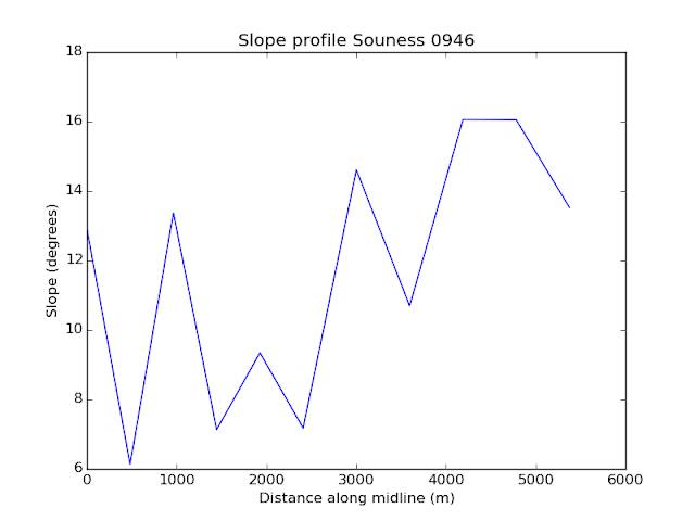
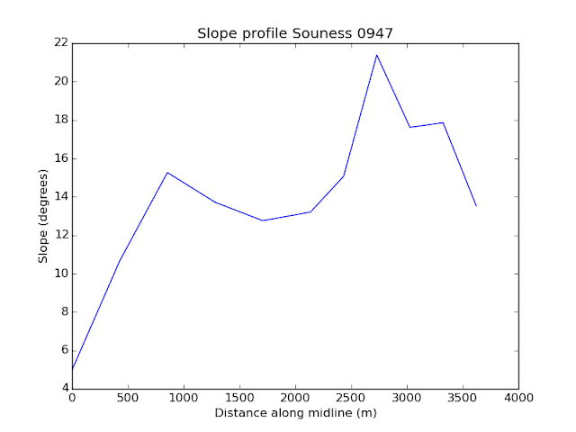
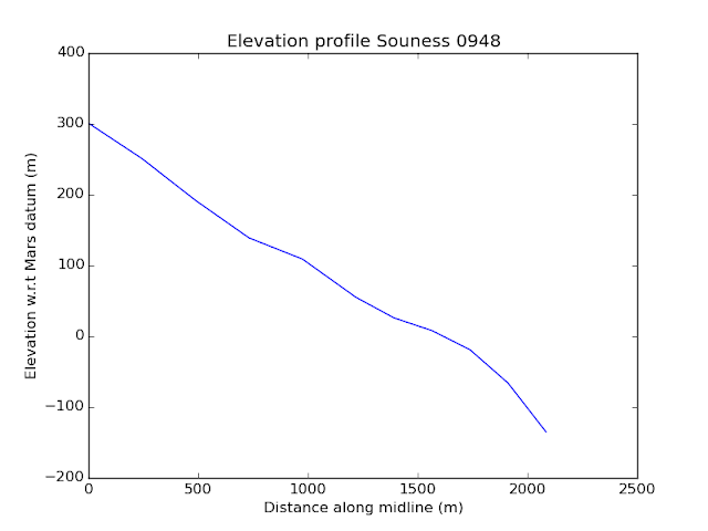
I have decided, despite the general poor quality of code, to put many of my Python scripts that I used to process my dissertation online. It is not likely to be very useful to someone else, because it is particularly built around the dataset that I amassed from HRSC Mars Express DTMs and written in a very ad-hoc way.
The scripts are at
https://bitbucket.org/davidtreth/marsglaciers/One thing I have developed a little beyond my dissertation is the profile along the midpoint of the glacier. I have extended my script that generated the shapefiles of the glacier extents to do circles following the mid-line all the way from head to terminus.
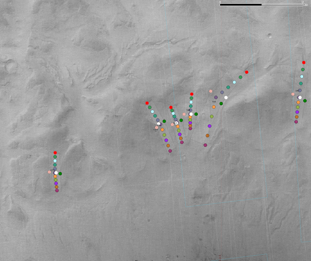 |
| Souness 1273, 944, 945, 948, 946 and 947 in the north of Greg crater |
I used
gdallocationinfo called from the command-line via subprocess.check_output in Python to retrive the elevation from the HRSC data for all of the Souness GLFs that have HRSC data available.
 |
| All of the Souness GLFs superplotted on one crowded looking PNG file |
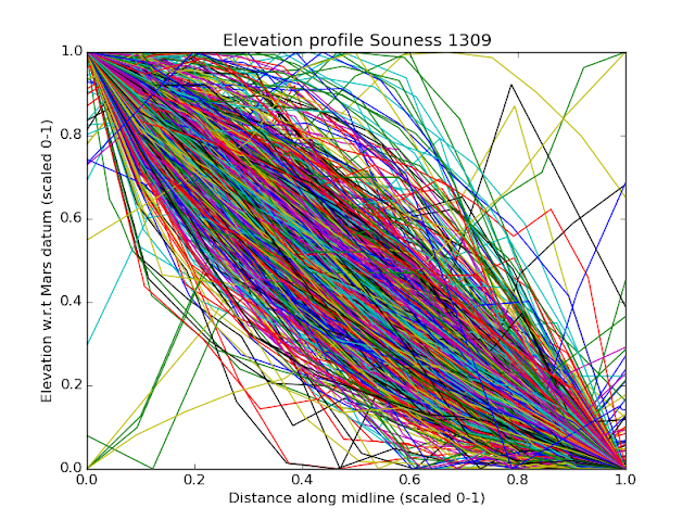 |
| The same figure with scaling distance along midline and elevation difference to dimensionless number between 0 and 1 |


